UAV Inspection with Thermal Imaging and LiDAR
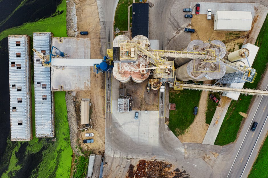
Bell Engineering® offers UAV-based aerial inspection services combining ultra high-resolution photography, thermal infrared imaging, and LiDAR point cloud scanning into a single integrated inspection platform. UAV inspection has transformed industrial asset assessment by enabling data collection at high-consequence locations—flare stacks, tank roofs, fired heater structures, transmission lines, bridge structures, and marine infrastructure—without placing inspectors at elevation or requiring the scaffolding, rope access, equipment isolation, and confined space permits that conventional inspection methods demand.
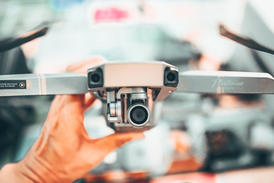
Bell Engineering®‘s aerial inspection program is operated by FAA Part 107 certified pilots using professional-grade commercial UAV platforms equipped with interchangeable sensor payloads for visible light, thermal infrared, and LiDAR capture. Bell has performed aerial inspection work for industrial, energy, marine, and infrastructure clients across the Gulf Coast and Southeast Texas region, delivering inspection data that integrates directly into asset integrity management programs, maintenance planning systems, and capital project documentation.
What We Deliver
Bell’s aerial inspection program covers a wide range of applications and asset types:
- Above-grade structural inspection of pipe racks, towers, vessels, and heat exchangers
- Flare tip and stack condition assessment without process shutdown
- Aboveground storage tank roof and shell inspection
- Marine structure inspection: jetties, docks, dolphins, sheet piling, and fender systems
- Transmission line and substation structure inspection
- Thermographic inspection: electrical hot spots, insulation defects, refractory failures, heat tracing issues
- Volumetric stockpile measurement using LiDAR point cloud data
- Facility orthomosaic mapping for layout verification and as-built condition documentation
- Active construction project progress photo documentation
Bell delivers processed imagery, annotated condition reports, and 3D datasets in formats compatible with major GIS, IDMS, and asset management platforms.
- Thermal IR inspection to identify heat and energy losses
- LiDAR scanning for precise 3D spatial data
- Ultra hi-res aerial photo and video documentation
- Mechanical inspection: pipe, ventilation, and equipment
- Electrical inspection: wiring, breakers, fuses, power distribution
- Foundation and structural condition assessment
- Solar PV plant inspection
- Cell tower inspection
- Marine inspection: ships, cranes, and rigs
- Upstream oil and gas facility inspection
- Construction and maintenance inspection support

Industries Served
Bell’s aerial inspection program serves clients who need high-quality inspection data from difficult-access locations without the cost, schedule impact, and personnel risk of conventional access methods. A UAV inspection mobilization that Bell completes in a half-day can replace a week of scaffolding erection, traditional inspection, and scaffolding removal—with higher resolution imagery, more consistent spatial coverage, and lower total cost.
Bell Engineering®‘s aerial inspection team combines the flight operations expertise of FAA-certified pilots with the engineering analysis knowledge of Bell’s inspection and process engineers. When Bell reviews aerial and thermal imagery from a process unit, the analysis is grounded in understanding what each piece of equipment is, what degradation mechanisms it faces, and what the finding means for operational risk, inspection planning, and maintenance prioritization—not just what the pixels show.
Put Our Engineering Expertise to Work for You
Contact Bell Engineering® to discuss your inspection requirements.